

Whitesbog Village, an early 20th-century company town and agricultural community. In the early 1900s, Whitesbog was the largest cranberry farm in New Jersey, and its founder, Joseph J. White, was a nationally recognized leader in the cranberry industry. Aside from its immense success with cranberries, Whitesbog is also where the highbush blueberry was first successfully cultivated.
Today, Whitesbog is part of Brendan T. Byrne State Forest and is listed on both the National and State Registers of Historic Sites. Whitesbog includes the village and the surrounding 3,000 acres of cranberry bogs, blueberry fields, reservoirs, sugar sand roads, and Pine Barrens forests.
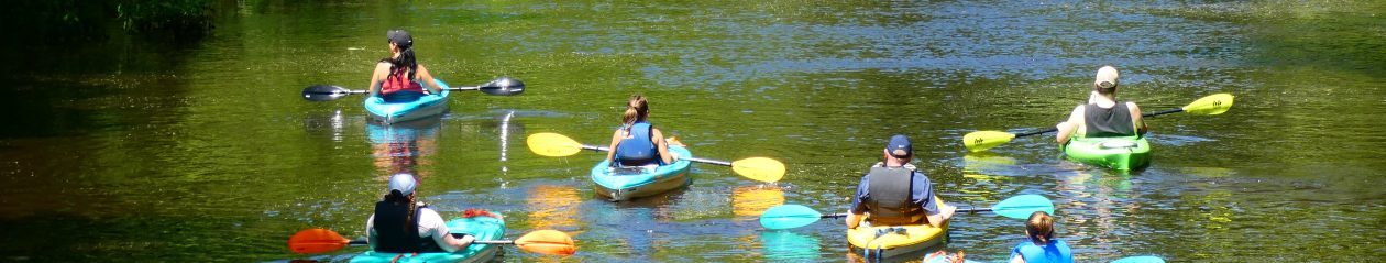
Whitesbog is part and parcel of the headwaters of the North Branch of the Rancocas Creek. From Whitesbog the Rancocas flows for 30 miles to the Delaware River. The head of tide on the North Branch is Mt. Holly. The best paddling on the Non-Tidal Sections of the North Branch are the Burlington County Canoe Trail and Mirror Lake. Tidal, paddle down on the Rancocas State Park Bluewater Trail, through the confluence and the main stream.
Paddling Note: The N Branch between Whitesbog and Mirror Lake and from Mirror Lake to New Lisbon and the Launch of the BC Parks Canoe Trail is “wild and wooley”. Experienced paddlers only. Add up to 6 hours or more to paddle. Greenwood Bridge is a fine place to paddle and watch the world flow by.
Unique, Exemplary, Distinct. Check out the map of the Cranberry Bogs and Ponds. Check in at the Village Store. Caution as cedar tree stumps are found often hidden right below the surface of the water. Winds across the ponds are fast. Stay alert for thunderstorms, Wear sunscreen, Wear a life-jacket. Leave paddle plan. Paddle down.

In Pemberton Clarks Canoe Rental is the Place to Go
tip of the hat to Karl J and his pup for paddling down and photos
Detailed Maps of Landings and Launches. Gated Access points are either Municipal or Private Landings. Hours of Access are Posted. Click here for maps